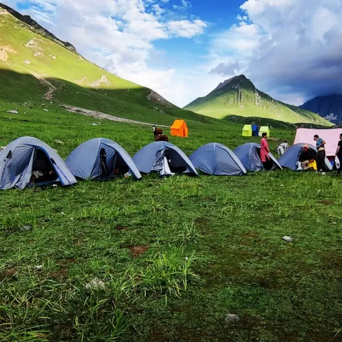
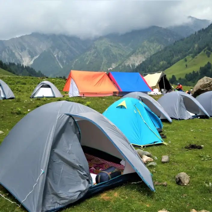
For Day 1, from Srinagar airport to Sonamarg base camp; Day 7, from Naranag to Srinagar Hotel and Day 8 for airport or Bus Station drop
Introduction
| Arrive: Srinagar, Kashmir Depart: Srinagar Kashmir Best Time: June to September | Duration: 8 Days Trek-Distance: 68 KM Highest Altitude: GadsarPass (4180m) | Activity Level: Level 3 | PRICE INR 21900/Per Person |
The Kashmir Great Lakes Trek is a moderate hiking trail in the western Himalayas of the Kashmir region. The base-camp Sonamarg lies on the Srinagar-Leh National Highway. The ending point Naranag village is also connected with the same Highway. The trek can be done in both ways, but to escape the direct Sun it is recommended to commence the trek at Sonamarg and end at Naranag as it treks mostly in a westerly direction.
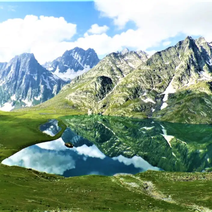
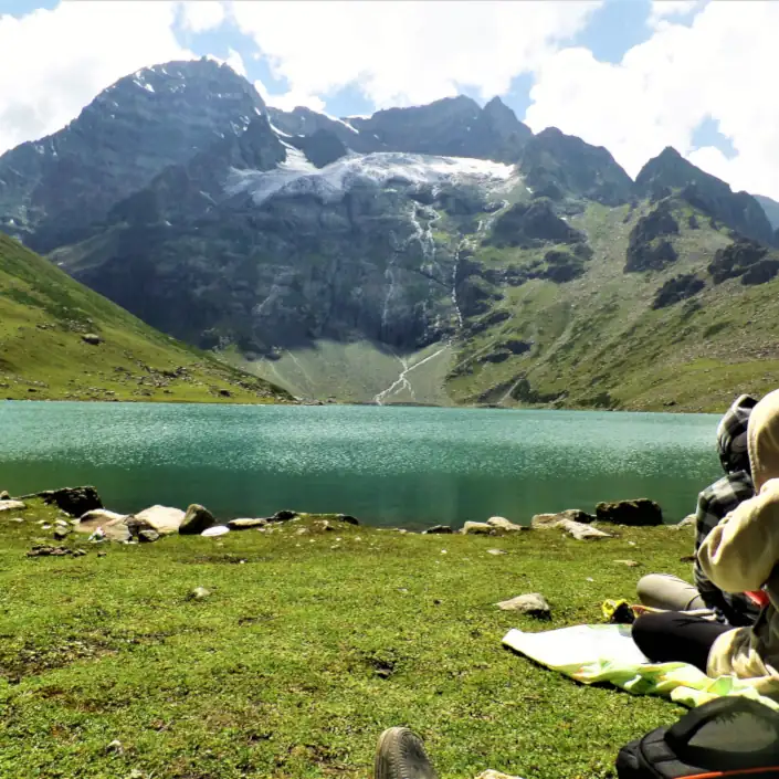
The Great Lakes as the name suggests treks through many high altitude alpine lakes situated at the foothills of different snow-clad mountain peaks. The most famous lakes are Vishansar and Gangabal Lakes. It crosses streams, plenty of colorful alpine meadows, and ascends three mountain passes with an average altitude of 4000m above sea level. The highest mountain peak of the trek which dominates the second part of the trek is Mount Haramukh standing at 5300 meters above sea level.
The Great Lakes Trek expedition is no walk in the park. Arduous days, steep mountain passes, and altitudes approaching 4200m demand a sure-feet and a good amount of physical and mental fitness. The difficulties of the trek are rewarding and the challenges are worth it for the sense of achievement. This trek of the Kashmir is the most beautiful and most serene of all treks in the Himalayas.
While planning your trek, as a beginner keep the following points in consideration:-
- you feel fit enough to trek for hours.
- you walk two or three kilometers daily.
- you don’t have any breathing problems.
- you are not scared of heights.
FIXED DEPARTURES (June-Sept 2024)
August
September
Inclusions
What’s included in the Price?
What’s not included in the Price?
Itinerary
Brief Itinerary
Day 1 :- Srinagar to Sonamarg
- Arrive Srinagar (Alt. 1600m)
- Pickup from Srinagar airport or Bus stand or hotel
- 100 kms drive to Sonamarg, approx 3 hours.
- Our first campsite Sonamarg (alt 2610m) at Sind riverbank.
(Transport from Srinagar to base-camp. Tea, dinner at the camp)
Day 2:- Sonamarg to Nichnai.
- Altitude: 2610m to 3450m
- 11 kms trek, approx 7 hours
(breakfast, lunch, tea, dinner)
Day 3 :- Nichnai to Vishansar Lake via Nichnai Pass
- Altitude: 3450m to 3650m via 4080m
- 12 kms trek, approx 7 hours
(breakfast, lunch, tea, dinner)
Day 4:- Vishansar Lake to Gadsar via Gadsar Pass
- Altitude: 3650m to 3550m via (4180m)
- 14 kms trek, approx 8 hours
(breakfast, lunch, tea, dinner)
Day 5:- Gadsar to Satsar
- Altitude: 3550m to 3650
- 9 kms trek, approx 5 hours trek
(breakfast, lunch, tea, dinner)
Day 6:- Satsar to Gangabal Lakes via Zajibal Pass
- Altitude: 3650 to 3580m via 4080m
- 11 kms trek, approx 6 hours
(breakfast, lunch, tea, dinner)
Day 7:- Gangabal to Naranag trek, Drive to Srinagar
- Altitude: 3580m to 2250m
- 15 kms trek, approx 6 hours
(Breakfast at camp, Lunch at Naranag, Transport from Naranag to Srinagar Hotel, dinner at the hotel)
Day 8:- Srinagar Airport or Bus Stand drop.
- 5 kms drive to bus stand, approx 20 minutes
- 12 kms drive to Srinagar airport, approx 30 minutes
(Breakfast, Transport from Srinagar to the airport for departure)
Detailed Itinerary
Day 1: – Arrival. Reception at Srinagar airport/bus station.
On arrival at Srinagar airport or bus station, our representative cum driver will receive you and drive to Sonamarg for an overnight stay in a tented camp. We have a tea or kahwa before the dinner at the evening. The drive through Ganderbal villages takes maximum 3 hours to cover a distance of around 100 kms. Sonamarg is the last town with a market before the start of the trek.
Day 2: – Sonamarg – Nichnai (7 hrs trek). After breakfast at the campsite, we pack our load and backpacks on horses and start our trek. Our trek is a slightly steep ascends the meadows and enters a pine/ birch forest at Shokdari. There’s a army check post where we have to produce our ID cards or passports. The process takes not more than 10 minutes to tally the ID’s with the trek-permits which we had acquired well in advance. The officials are very friendly and the short break is worth to have a distant sight of the Thajwas glacier and the vibrant Sonamarg town. We trek pine forest for 3 hours and have our lunch at Shokdari Top. After the lunch our trek enters birch forest a slight descend trek, very comforting in walking as we enter the vast and long Nichnai meadow. It takes another hour or two to reach our camping ground to have our tea or kahwa and finally the dinner and an overnight stay.
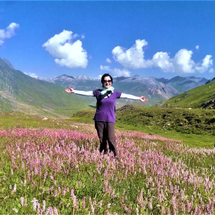
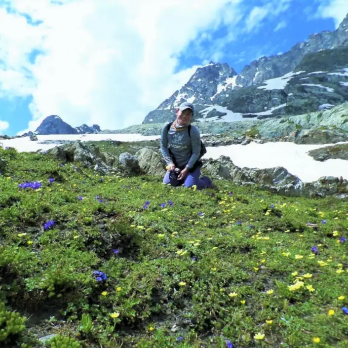
Day 3: – Nichnai – Vishnasar – Krishansar Lake (7 hrs trek). After the breakfast, we leave Nichnai meadow crossing a small icy-water stream, we start ascending one of the three passes of the trek the Nichnai Pass (4080m). The pass will test our legs and most importantly our stamina. The trek which takes an hour of some steep hiking looks never-ending. We ascend the pass through grazing pastures of sheep and goats. After crossing the pass we enter into the Vishansar Valley which is also called as “the valley of medicinal plants”, due to its sheer varieties of alpine flowery plants. We take our lunch and trek all the way down to Vishansar Lake. We take our tea or kahwa and the dinner at the campsite. Vishansar Lake is just a 10 minutes walk away from our campsite.
Day 4: – Vishansar – Gadsar (8 hrs trek). After the breakfast, we start our day’s trek looking over and over to Vishansar Lake while we ascend to Krishansar Lake. The Krishansar Lake is a sibling of the former, it lies just over a ridge. We take its eastern shore to ascend the second and the highest pass of the trek the Gadsar Pass (4180m). The pass-trek is steeper than that of the Nichnai. It takes 2 hours to ascend the pass. On the top of the pass, we have the aerial view of the whole Vishansar valley among it are situated the twin lakes of Vishansar and Krishansar “the source of Neelam River”. We trek-down the Gadsar valley and take our lunch at the Gadsar Lake. The valley is also full of the flowery alpine plants and the green carpeted mountains look fabulous with their snow-clad tops. Our alpine pasture trek is full of Kashmir sheep, while walking down the trek it looks never ending as finally we arrive our camping ground at Kostour Kot. Before few years there used to have another army check-post, but luckily they are gone. Now no more checking at Gadsar. We take our tea or Kahwa and have our dinner at the evening.
Day 5: – Gadsar – Satsar Lakes – Megandoab (5 hrs trek). After the breakfast we ascend Kostur Kout leaving Gadsar valley, it takes 2 hours of a trek to enter the meadow of Rasbal. At the Rasbal a flowing river disappears inside the boulders and flows underground. The trek follows a fertile meadow. We continue our trek through seven small lakes of Satsar and camp at Megandoab at the foothills of the third pass of Zajibal for an overnight stay. Today we take our lunch at the campsite as this is the shortest day of the trek.
Day 6: – Satsar – Gangabal lake (6 hrs trek). After the breakfast at the campsite we start our trek by criss-crossing boulders. We ascend the last pass of our trek ‘Zajibal Pass (4080m)’. It takes maximum 3 hours of alpine trekking. As we reach atop, all our tiredness falls apart by looking at the views and the mountain scenery of the Mount Haramukh (5300m) just standing in the front and at its footsteps lie the twin beautiful alpine lakes of Gangabal and Nundkol. There is also a clear view os the distant Kolesar Lake. We descend the pass and reach our campsite at Gangabal Lake for an overnight stay. We take our lunch at the lake and tea and dinner at the campsite.
Day 7: – Gangabal – Naranag. (6 hrs trek) – Srinagar (2 hours drive). We leave Gangabal and Nundkol Lakes and trek down the meadows of Trunkhol. We may need to produce our permits and show our ID cards at the Army check-post at the Trunkhol. We continue our trek down and enter the tree-line. We trek down to Naranag village through the pine forests of Bodpathri. Here ends our 6 days of walking. We take our lunch at a Restaurant and take our car drive back to Srinagar houseboat or hotel for an overnight stay. Dinner and breakfast at the houseboat or the hotel.
Day 8: – Departure day. Our representative will drop you at the airport or bus station for the departure.
What to Carry?
The trek is supported by horses. You will need to carry only a light sack, weighing about 4-6kg for your items like passport, money, and camera gear. The following is a list of the items you should carry on the trek. If you have items that can not be used on the trek, you can store them at our houseboat or our office and take them back after returning from the trek.
(Please note that only postpaid Indian mobile sim cards (Jio, Airtel and BSNL) work in Kashmir Valley. There’s no cellular connectivity from Day 2 to Day 6 of the trek.)
- Passport or a valid ID card
- Duffel Bag 60 liters
- One Pair Trekking Shoes
- One Pair Trail Approach Shoes
- Trekking Pants
- Hooded Rain Jacket
- Shade Hat
- One Pair Sunglasses
- One Pair Liner Gloves
- Small Size Day-Pack
- Two Pair Trekking Socks
- One Pair Sandals
- Extra Warm Clothes
- Warm Hooded Down Jacket
- Sunscreen Cream
- Lip Balm
- Any Personal Medication
Fitness
Kashmir Treks are achievable by anyone with a healthy lifestyle and a good level of general fitness. Team members should be willing to be part of a team working together to achieve the goal of the expedition. As a team member, you should have an adventurous and robust spirit. The biggest challenge on this expedition will be the many consecutive days of challenging trekking across alpine terrain, much of which at altitudes of above 3000m.
Minimum fitness requirements
- Trek: up to 7km per day.
- Daily activity: up to 5 hours’ trekking per day.
- Carry: up to 5kg in a day-sack.
- Terrain: remote, uneven, snowy, icy, rocky, sometimes exposed terrain at up to 4200m.
- Climate: Can be sunny in valleys and cold and windy at high altitudes. June and September months are cooler than those of July and August. Averages are 3000m, 1°C to 20°C.
- Swim: not required though there will be stream crossings to make.

